
This shit is crazy!! (I'm glad it ain't on real time tho... that would be too creepy)..
Its called Google Earth...
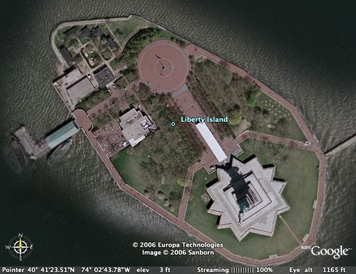
It will show you images of any spot in the world from the sky and outter space...
Type in your address and see how close you can get to detail...
Couldn't help but check out some terrain like the Grand Canyon too...
maybe this could have gotten me excited about geography in middle school...
Share it with kids if you've got any and let me know what they think!


7 comments:
no ish--
i was JUST looking at google earth for like 2 hrs with my gf. then i checked out your blog and saw that you were talking about it--i'm sorry, google earth trips me out. weird to know that we were spying on us already being spyed on
i know.. i was told at first that the program was close to real time and i was like oh hellz na! mofo's can't even get away from the grid fo a minute.. thankfully i found out that the shots are actually taken months apart.. but yea.. still trippy that on the real, "they" can get pretty close @ any moment and zero in on your nosehairs and shit...
i'm actually watching you both right now :)muahahahah!!!!!
LOL, ok so im kidding :(
yeah google earth scares me but i continue to go to that site since i'm also fascinated.....
i agree - it's trippy but addictive. now i wanna see every house i ever lived in, etc. but i honestly think it should be illegal -- i mean, you can't really use it as a map; schematic maps are still the only way to find your way around. the only application this thing can have is for spying and stalking people.
this is so wrong, man... we should not have access to these images... even if they're taken months apart.
are they, really? like, every square of the picture is taken at a different time, or what?
yea they're all months apart... i think its mostly tailored towards frequent tourists who wanna see places before they go there... pictures ain't enough these days no more.. i use it cuz i think the mother earth we've inherited is fascinating... i wish there were clearer shots of natural terraine though, like the south pole.. places i'll never get to except on this thing...
yeah, i agree - it's fascinating that you can see places all over the world where you otherwise may never be. in that respect, i do also wish you could see everything more vividly! for instance, i can see my town [where i was born and grew up] only on a very large scale. it's impossible to zoom in on particular neighborhoods, let alone streets. i wonder what this selective resolution is motivated by. you think they haven't gotten to 'magnifying' places in the third world just yet?
Post a Comment